ᐃᖃᓗᐃᑦ

Iqaluit, Canada

Explore the Canadian Arctic

Where in the world is Iqaluit?

ᓱᑯᑦᑎᐊᓃᒃᑲᓗᐊᕐᖓᑦ ᐃᖃᓗᐃᑦ?

Walk the snowy trails of the Canadian Arctic

ᐱᓱᕝᕕᒋᓗᒋᑦ ᐊᐳᑏᑦ ᐊᖅᑯᑎᖏᑦ ᐅᑭᐅᖅᑕᖅᑐᒥ ᑲᓇᑕᒥ


Take a guided audio tour

ᕿᒥᕐᕈᒍᓐᓇᖅᑕᐃᑦ ᓂᐱᓕᐅᕐᓯᒪᔪᒥᒃ ᑐᓴᕋᓐᓈᓯᓐᓈᕐᓗᑎᑦ


  • Welcome To Iqaluit
  • Dogsled Adventure
  • A History of Explorers

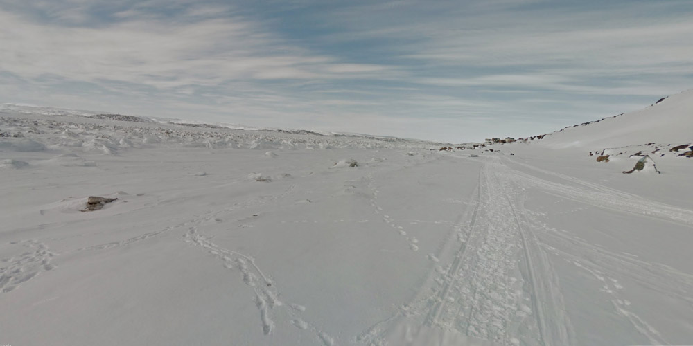
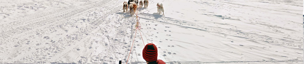
Meet the sled dogs of Iqaluit

"There's saying we have in the North: unless you're the lead sled dog, the view is pretty much the same" — Chris Kalluk, volunteer Trekker

ᑕᑯᔭᕆᐅᕐᓗᒋᑦ ᕿᒧᔅᓰᑦ ᐃᖃᓗᓐᓂ

Mapping Canada's North

ᓇᓗᓇᐃᒃᑯᓯᕐᓗᒍ ᓄᓇᙳᐊᒥ ᐅᑭᐅᖅᑕᖅᑐᖅ ᑲᓇᑕᒥ

  • Trekking the Canadian Arctic

    Do you recognize the camera on top of the new Trekker backpack? It’s the same technology used in the Street View car. The Trekker can capture imagery of places only accessible on foot, like the snowy roads of Iqaluit. Nunavut resident Chris Kalluk invited Google Maps to Canada’s Arctic to improve the online map of the area. The Google Earth Outreach team trained Chris to operate the image collection equipment, enabling him to continue capturing imagery of other local communities.

  • Community-led Mapping

    Often the best way to improve a map is to harness the knowledge of locals. Inuit land claims NGO Nunavut Tunngavik Inc. and the Iqaluit government coordinated a community MapUp, where volunteers used Google Map Maker to submit updates to the map of Iqaluit. High school students and elders alike added roads, buildings, rivers and lakes to Google Maps. Now visitors to Iqaluit can locate important landmarks on the map, like the Nunavut Legislative Building and the Hudson’s Bay Company outpost.

  • Meeting with the Elders

    Through coordination with the Nunavut government and Iqaluit city council, the mapping team was able to share their work with the Iqaluit community elders. Over a meal of seal, caribou and Arctic char, the team presented the planned improvements to the map, along with an explanation of the Trekker technology. In turn, the elders shared stories of the the various ways Inuit hunters have traditionally oriented themselves on the land without the use of maps.

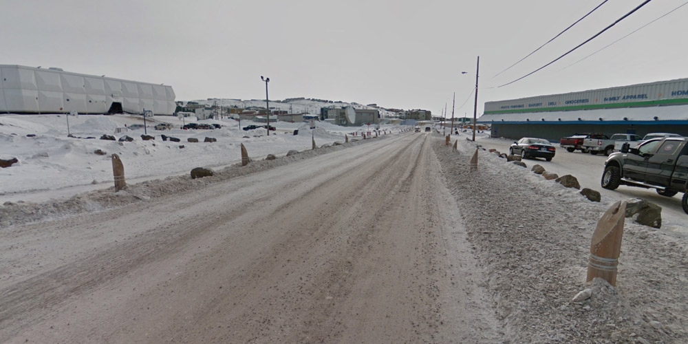
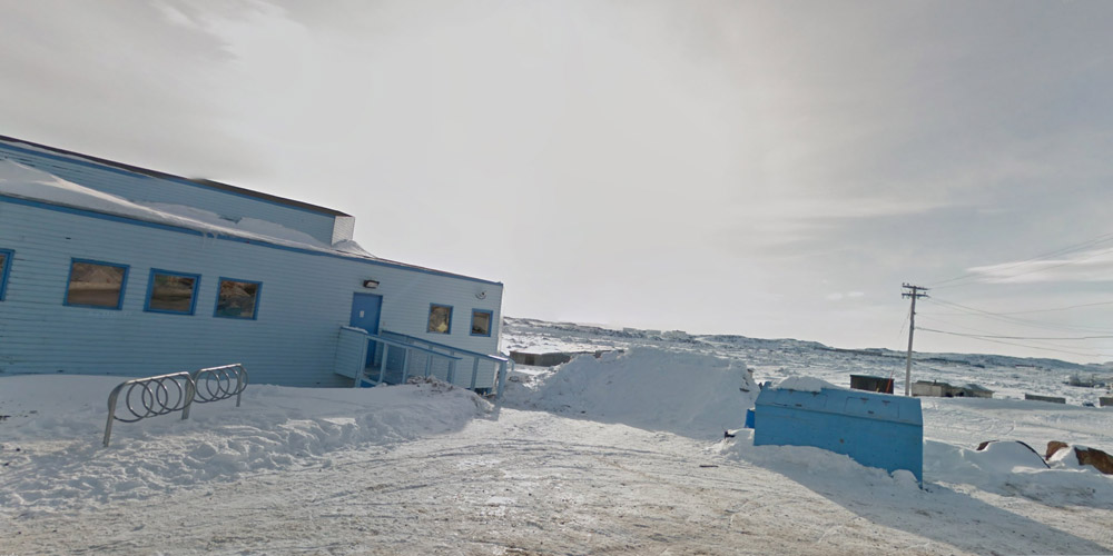
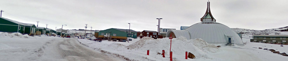
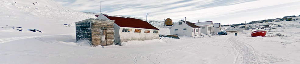
Google Maps Treks: Iqaluit

ᒎᒍᓪ ᓄᓇᙳᐊᓕᕆᔩᑦ ᐱᓱᕋᔭᑉᐳᑦ: ᐃᖃᓗᓐᓂ